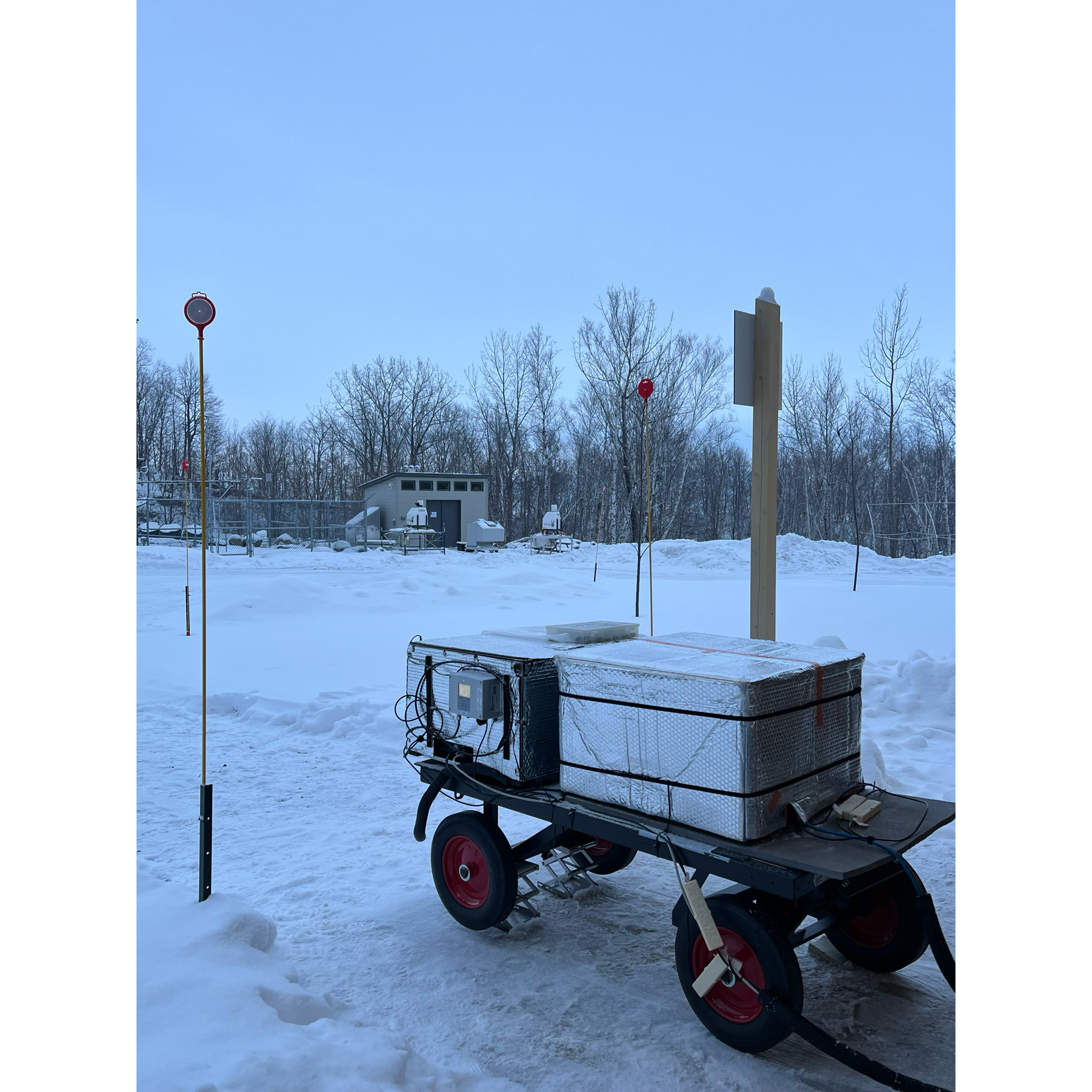
EOS Open House at Gault
Date: February 12, 2025
- Group Photos of Our Team
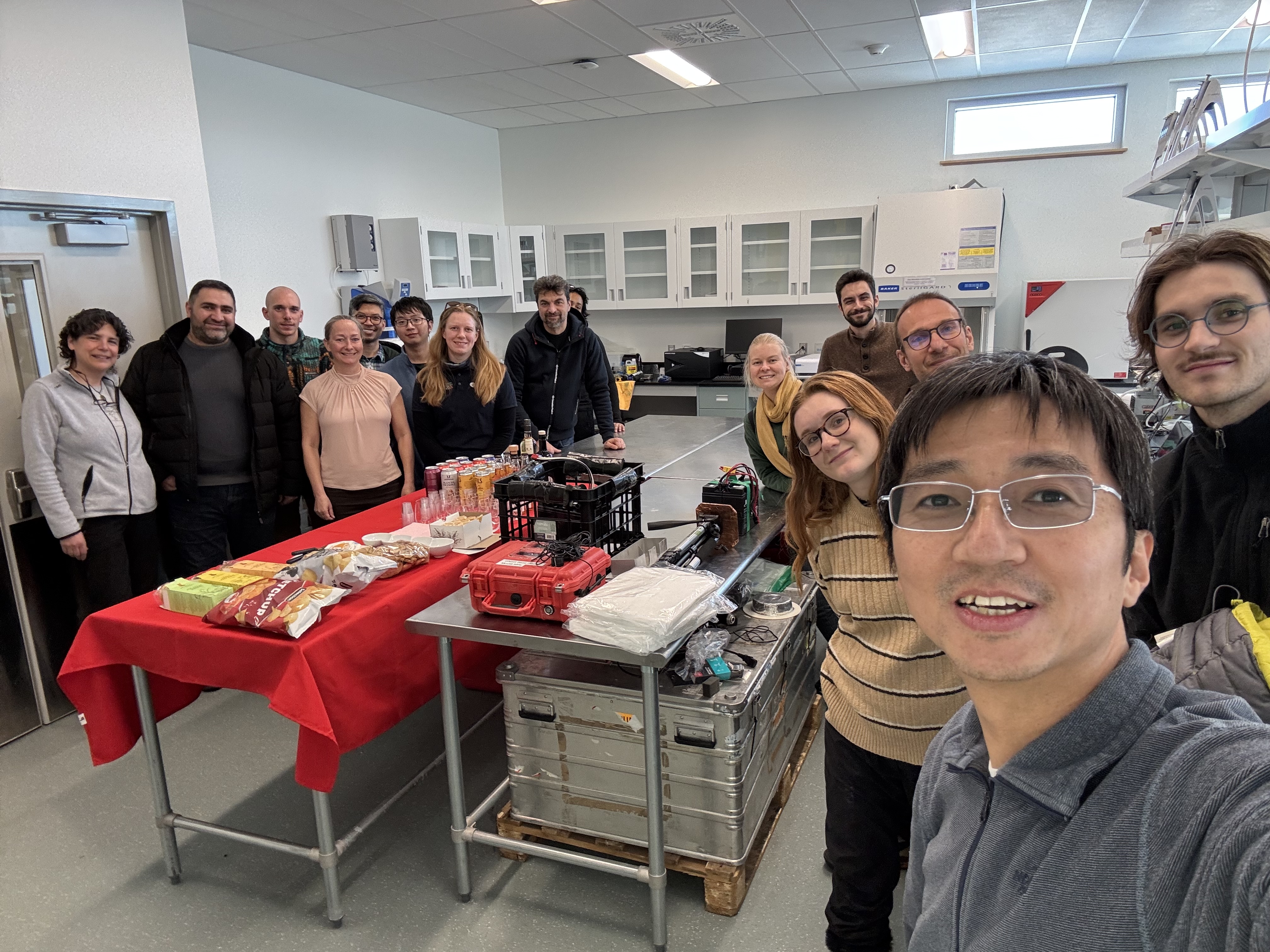

- Open House Events
Wrapping up our field campaign on a beautiful day—thank you all for your hard work and dedication 💙✨!
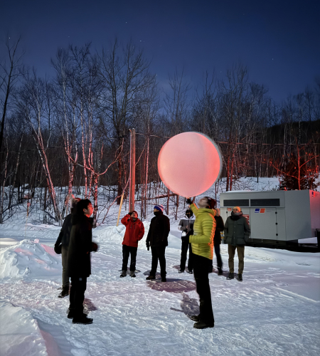
Overnight Observations at Gault
Date: February 11, 2025
-
Radiosonde Launching
-
Camera Drones
Group pictures of instruments
- ACHIEVE Data
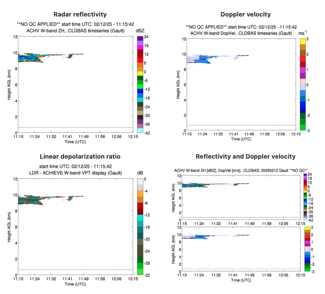
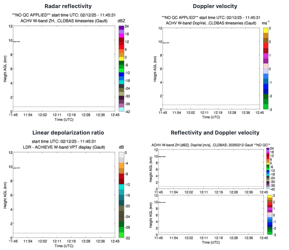
ACHIEVE data indicates little to no cloud cover over GAULT during the following time periods:
11:15 to 12:15 UTC
11:45 to 12:45 UTC
- Satellite Images


AERI, FIRMOS, and FINESSE Measurements at Gault
Date: February 10, 2025
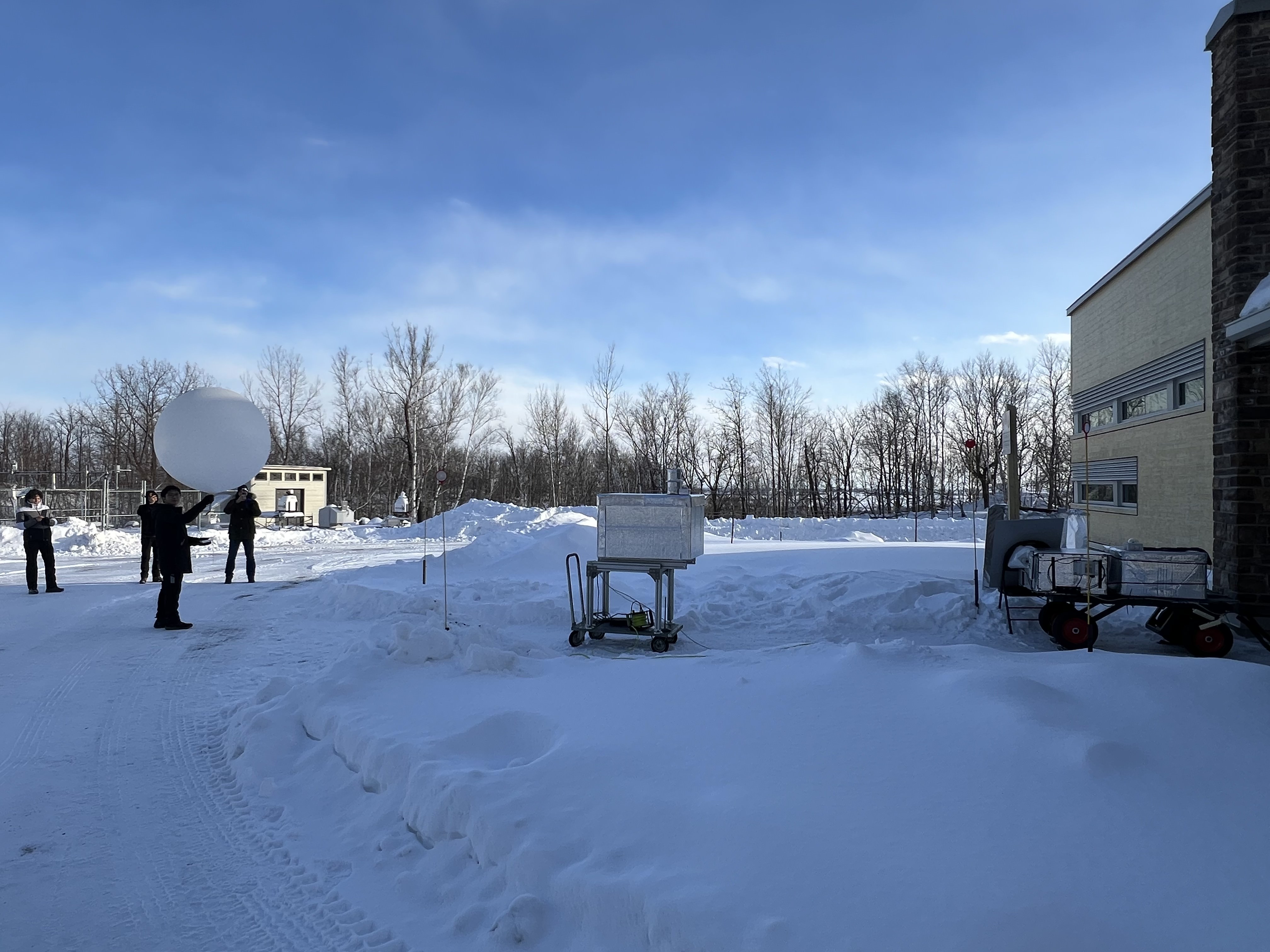
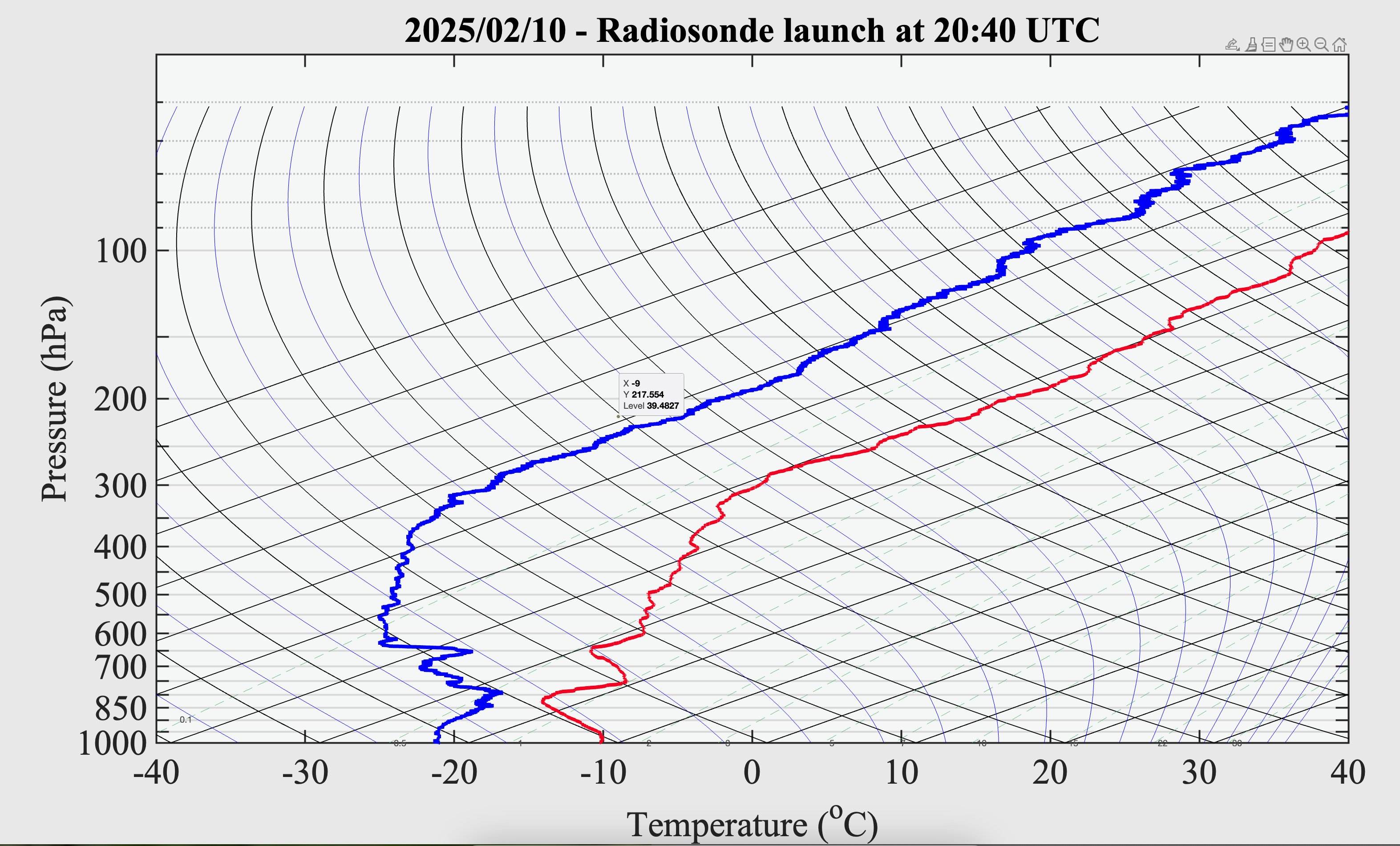
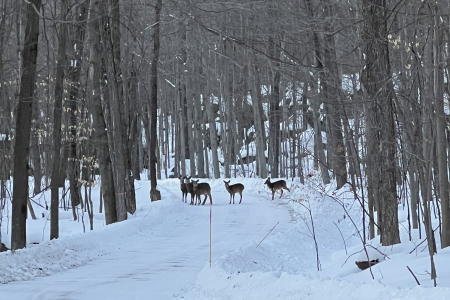
- Radiosonde Launching
Flight 5
Date: February 5, 2025
-
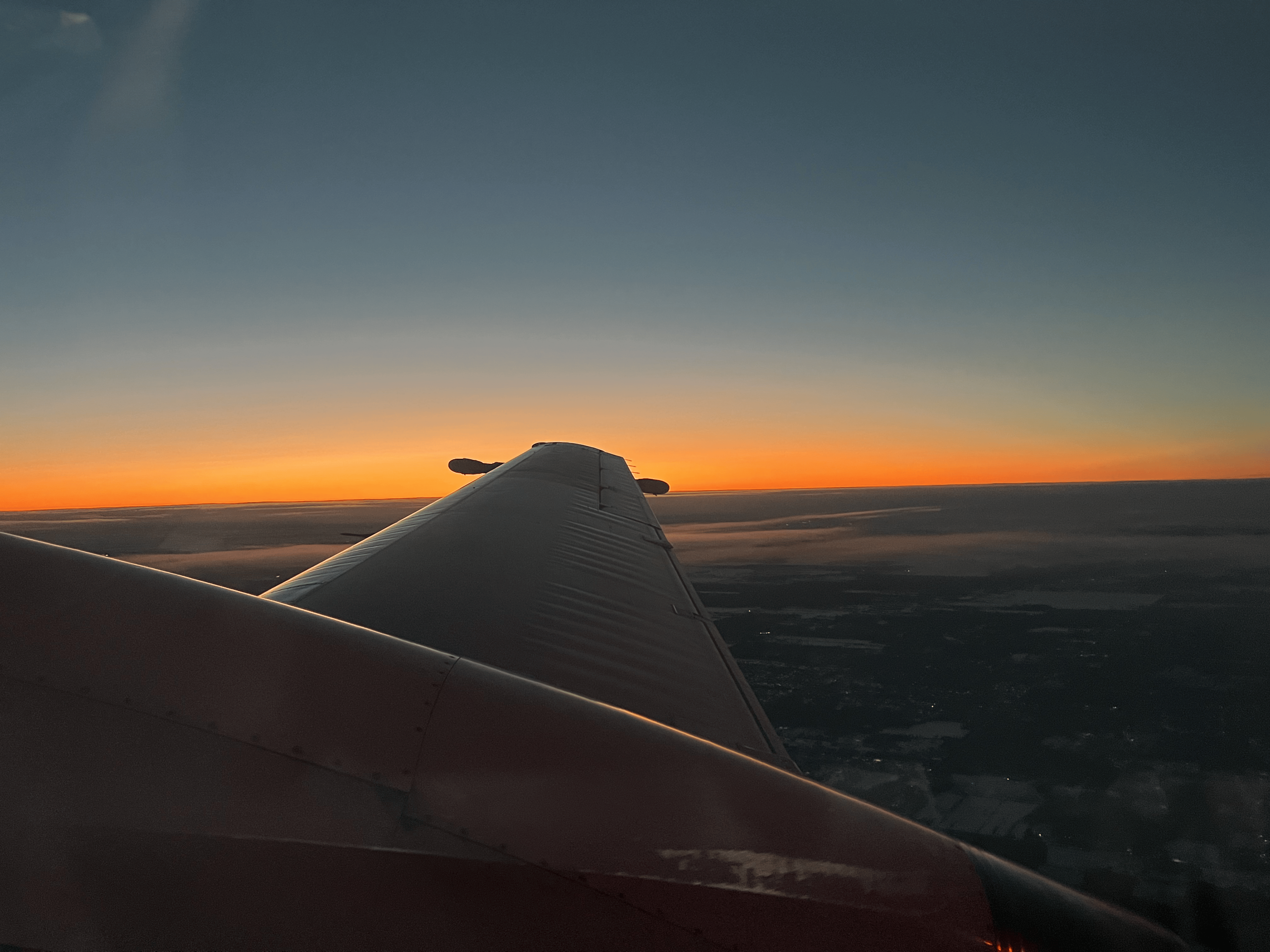
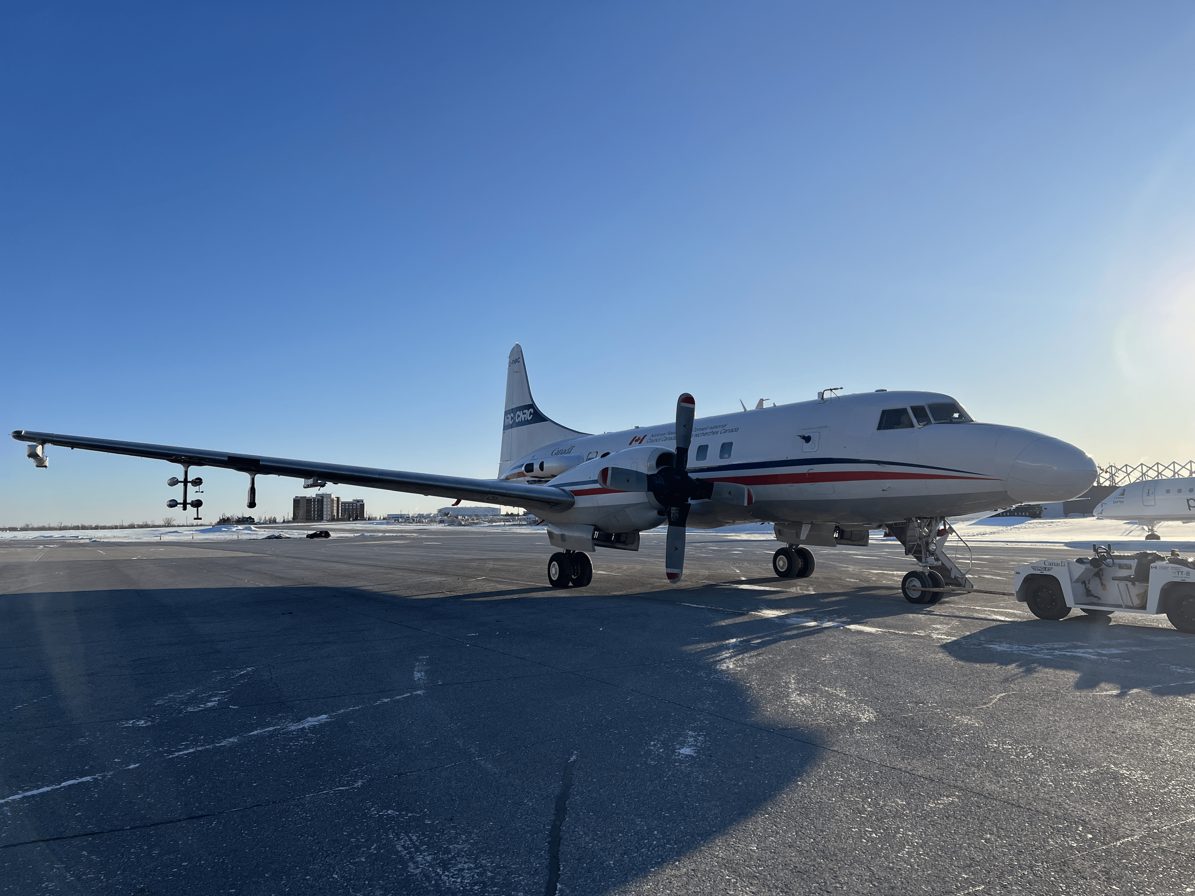
HISRAMS on the Aircraft
-
FIRMOS and antennas for radiosonde in Ottawa

Flight 4
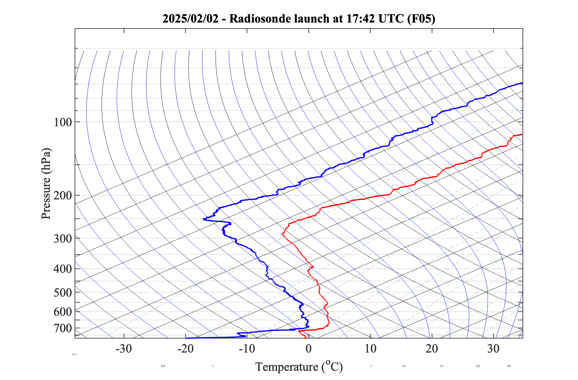
Date: February 2, 2025
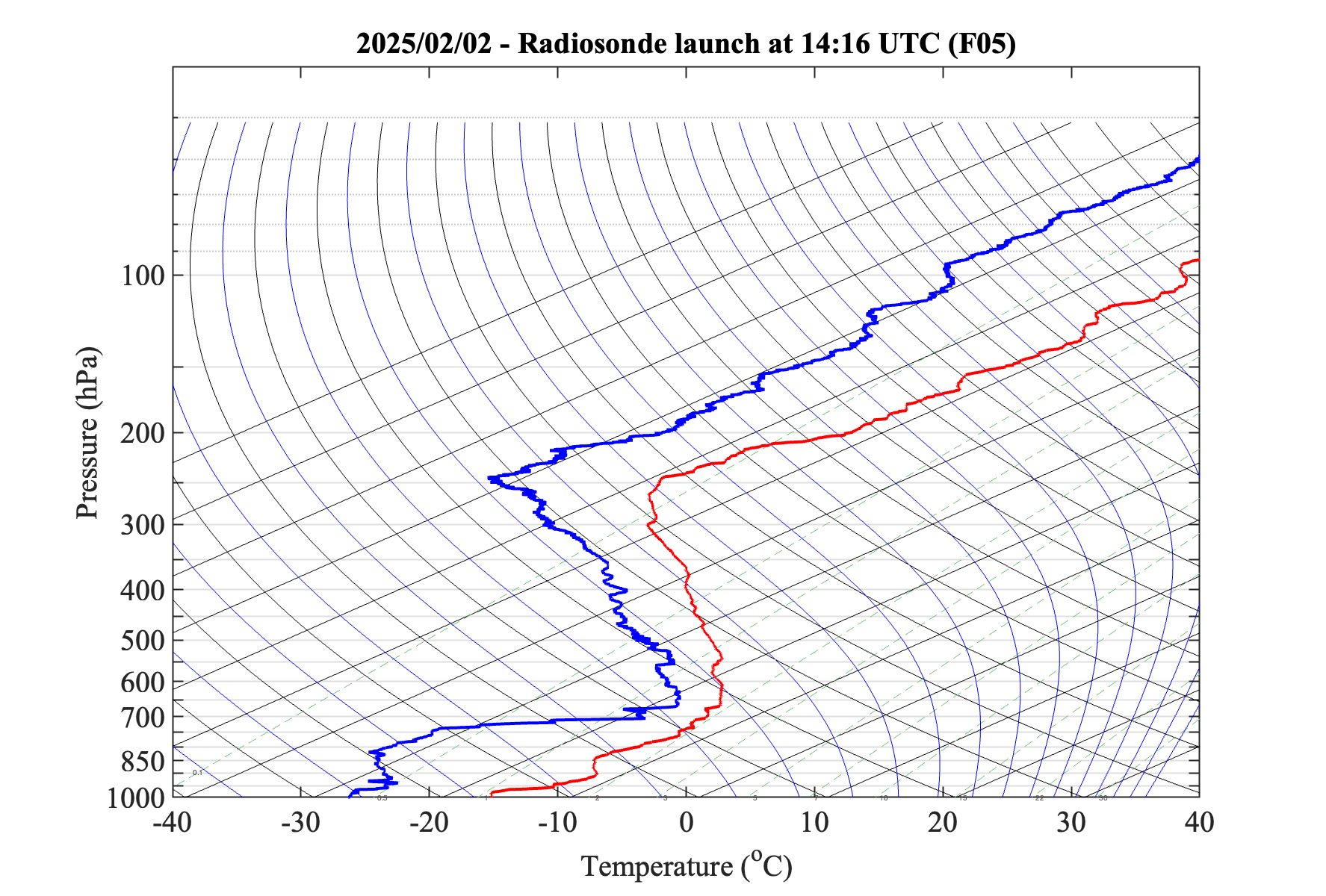
- Radiosonde Plot
 |
| 
- AERI Data
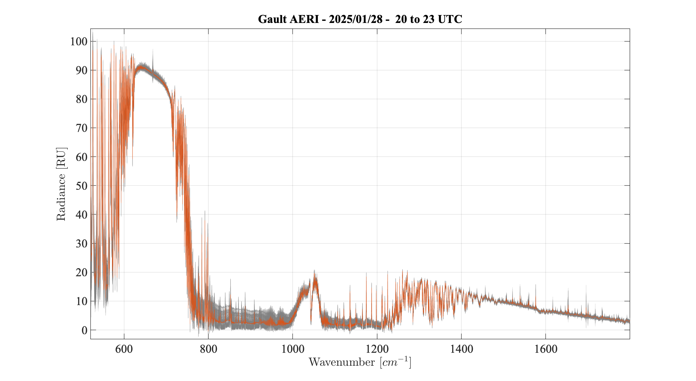
Some (presumably) clear-sky AERI spectra.
Flight 3
Date: January 28, 2025
- Cloud Camera Data from FINESSE at the Gault Nature Reserve
During an overpass of the PREFIRE satellite and an overflight of the NRC aircraft, cloud camera data was collected to observe atmospheric conditions.
The video shows high cirrus clouds captured over FINESSE.
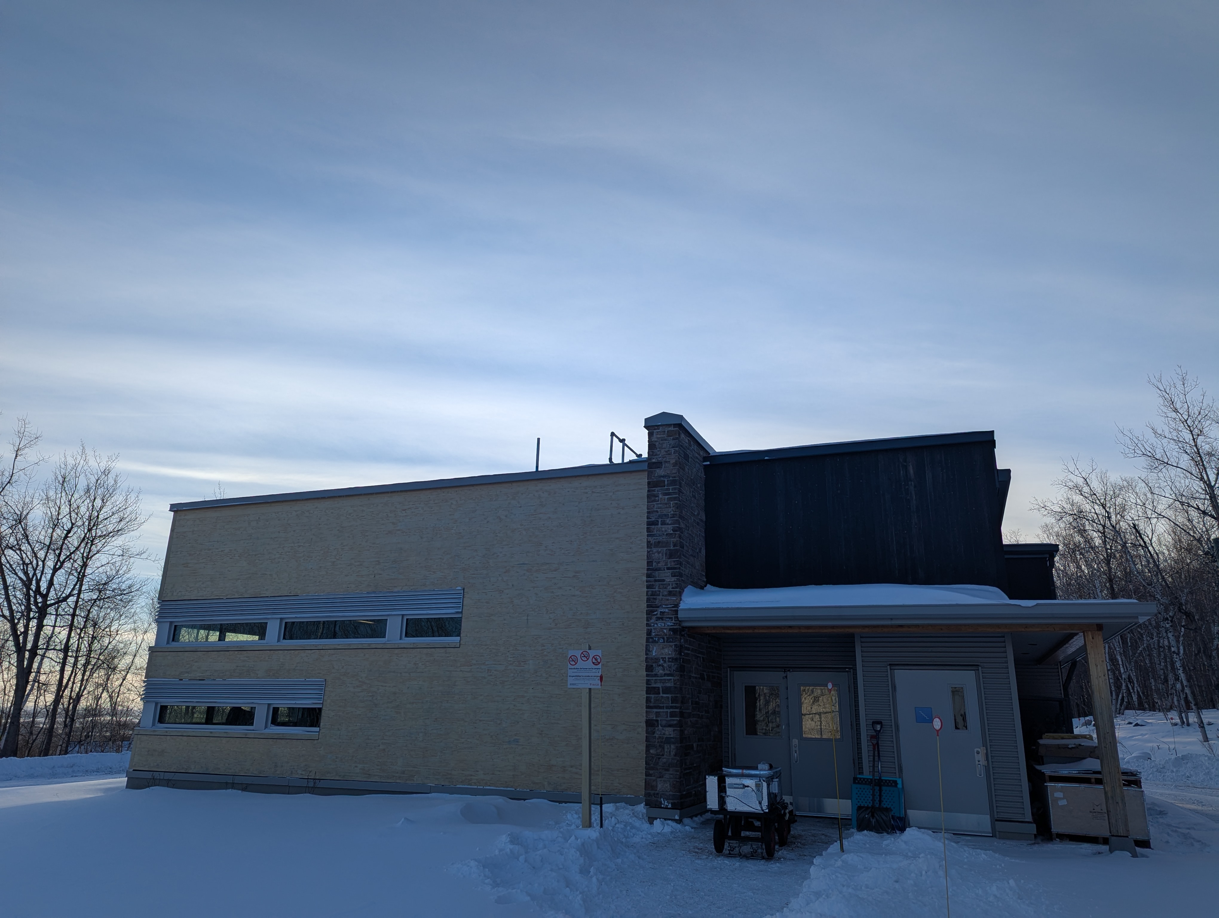
This photo shows FINESSE operating beneath cirrus clouds in front of the McGill EOS building.
The goal is to integrate the data from the ground-based instruments at Gault, a radiosonde release, data from the aircraft and the overpass of PREFIRE to understand the radiative properties of the atmosphere and thin-ice clouds in the far-infrared both from the top and bottom of the atmosphere.
- Convair pass above the ACHIEVE radar
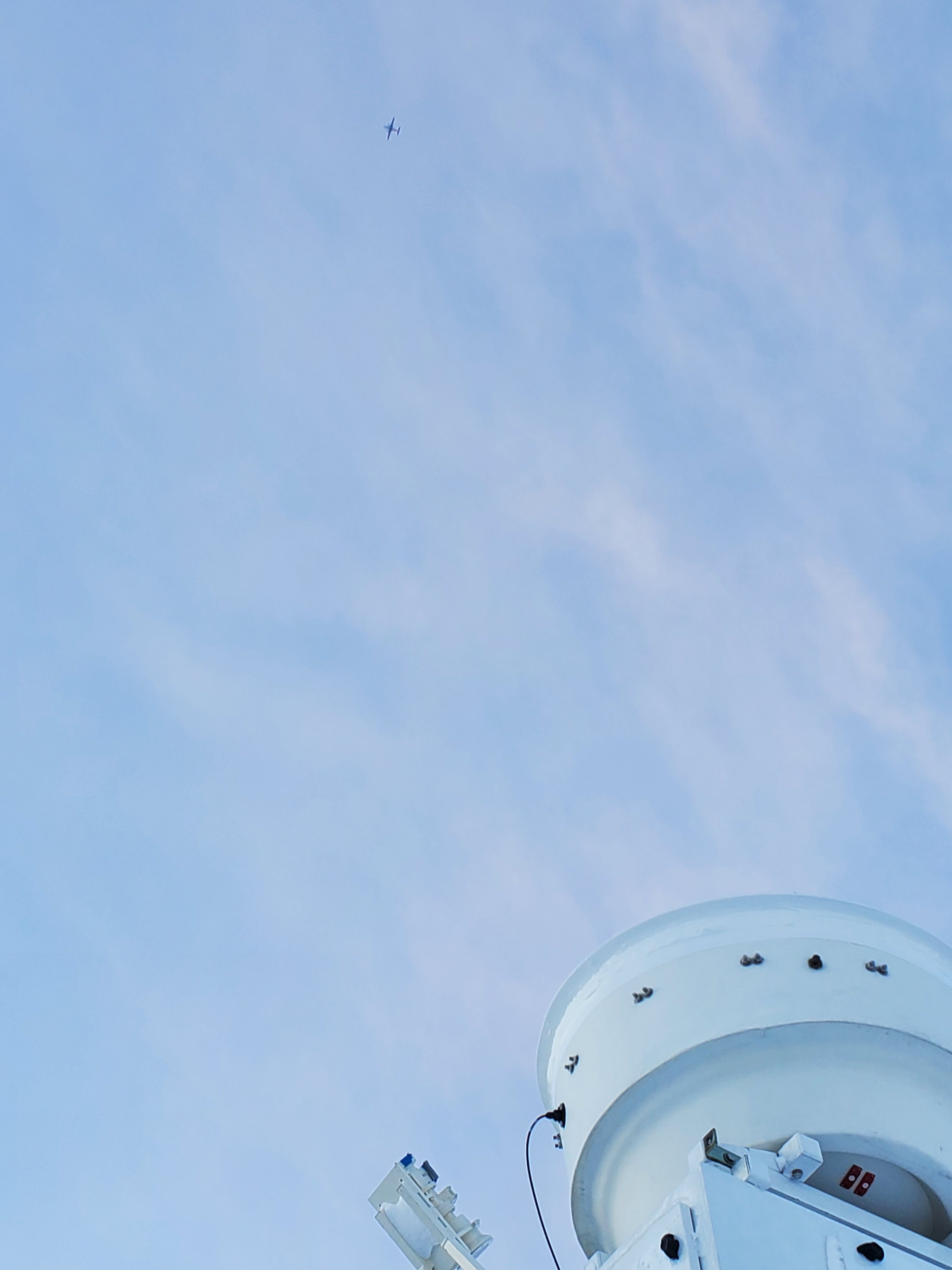
This photo shows the Convair aircraft flying over the ACHIEVE W-band radar antenna, along with the sky conditions at the time.
- Radiosounde Launching
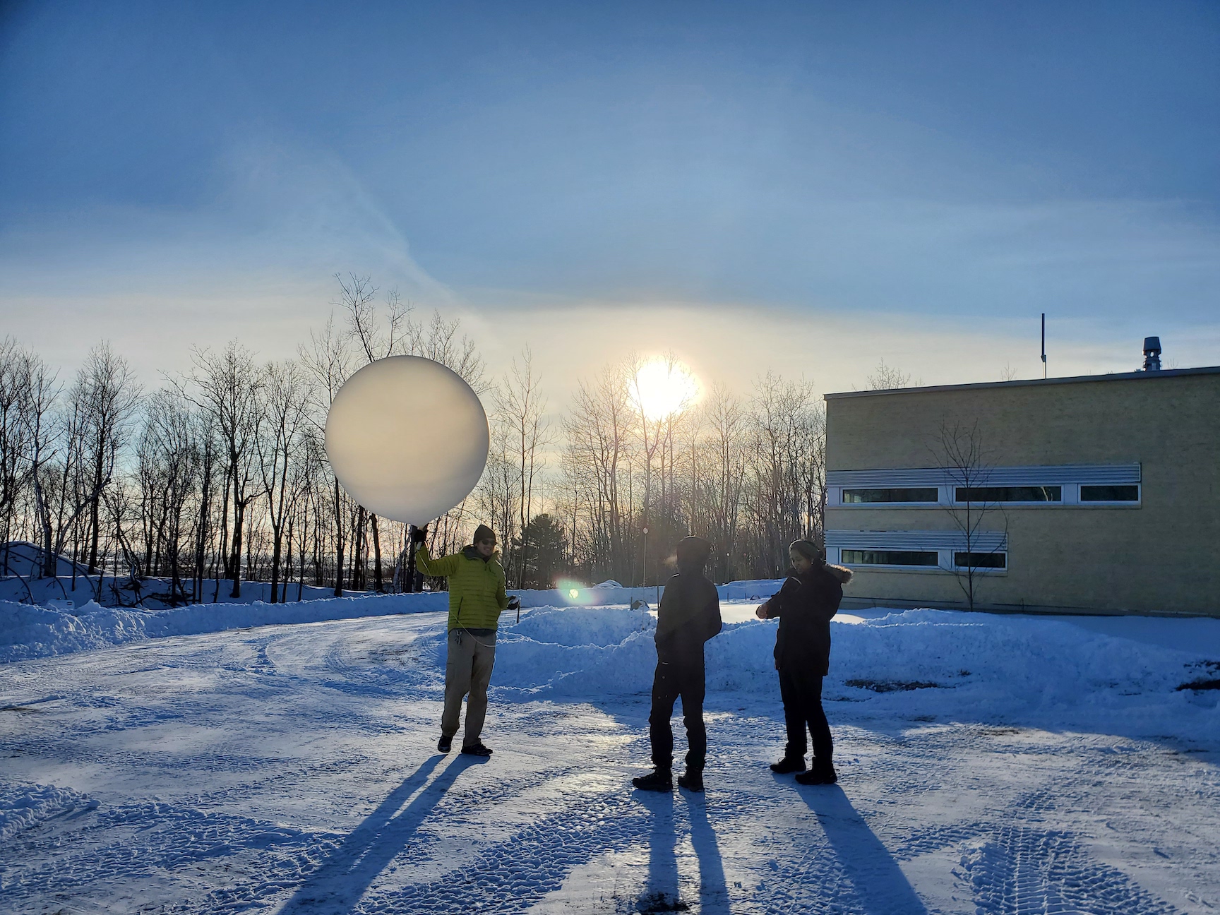
McGill and Imperial College London students preparing to launch a sonde, with the sky conditions at the time.
Flight 2
Date: January 22, 2025
- Radiosonde and Aircraft
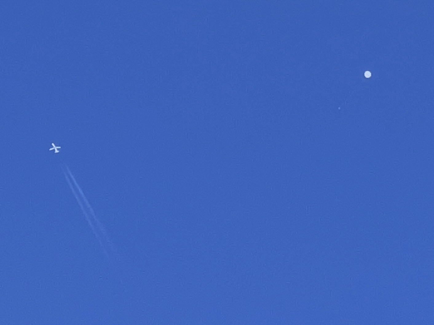
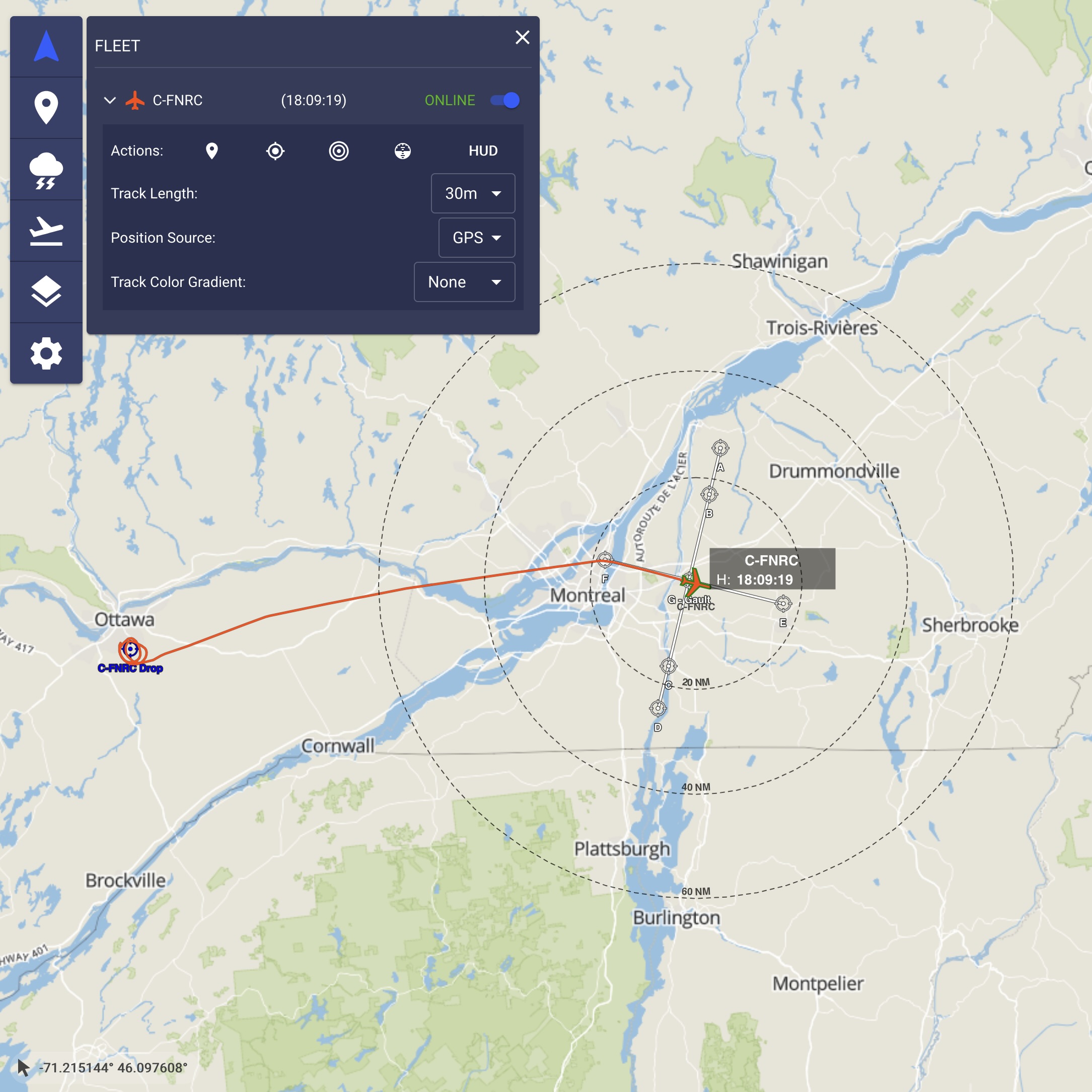
- Aircraft Route

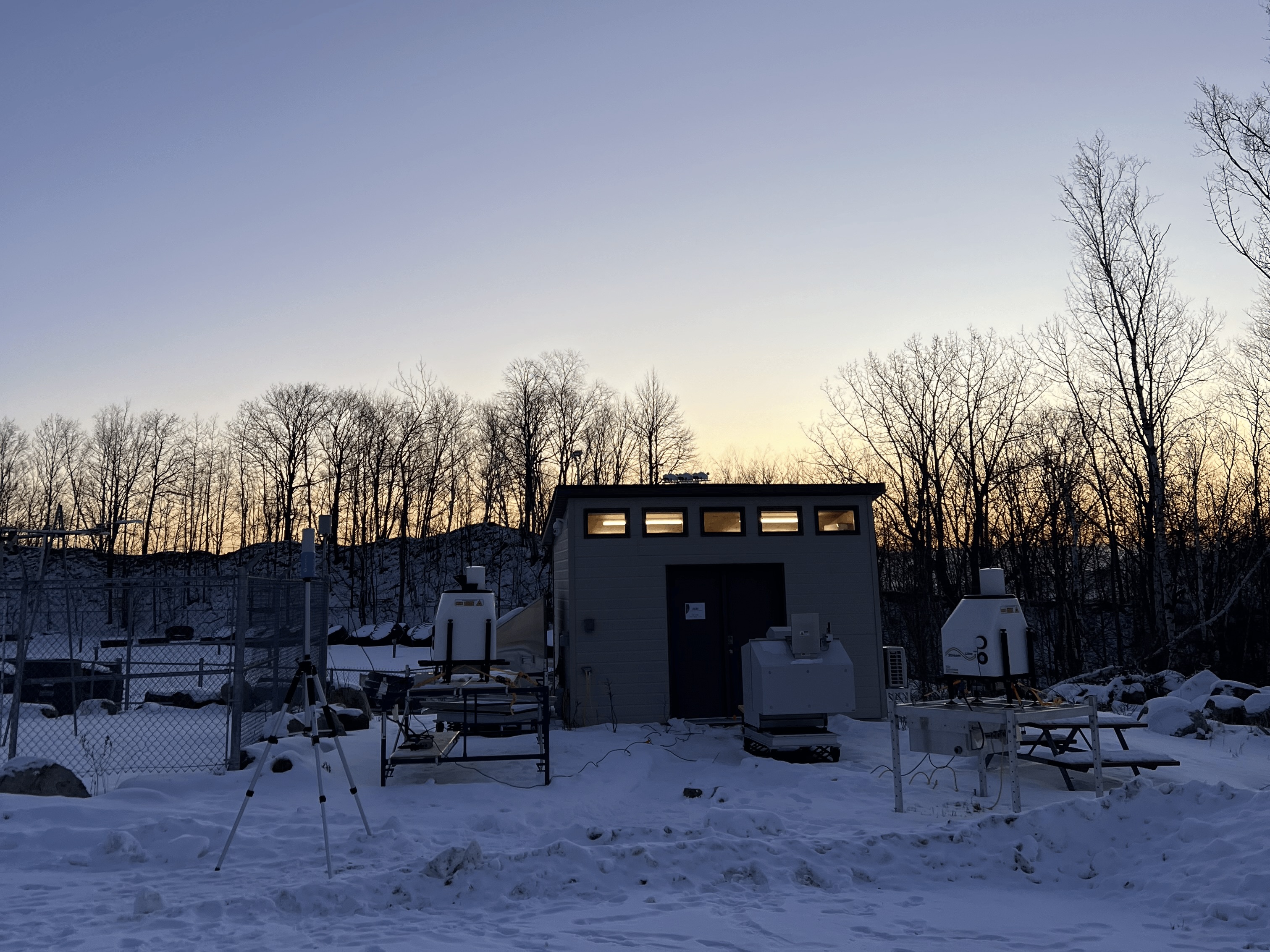
- Ground Instruments
- AERI Data
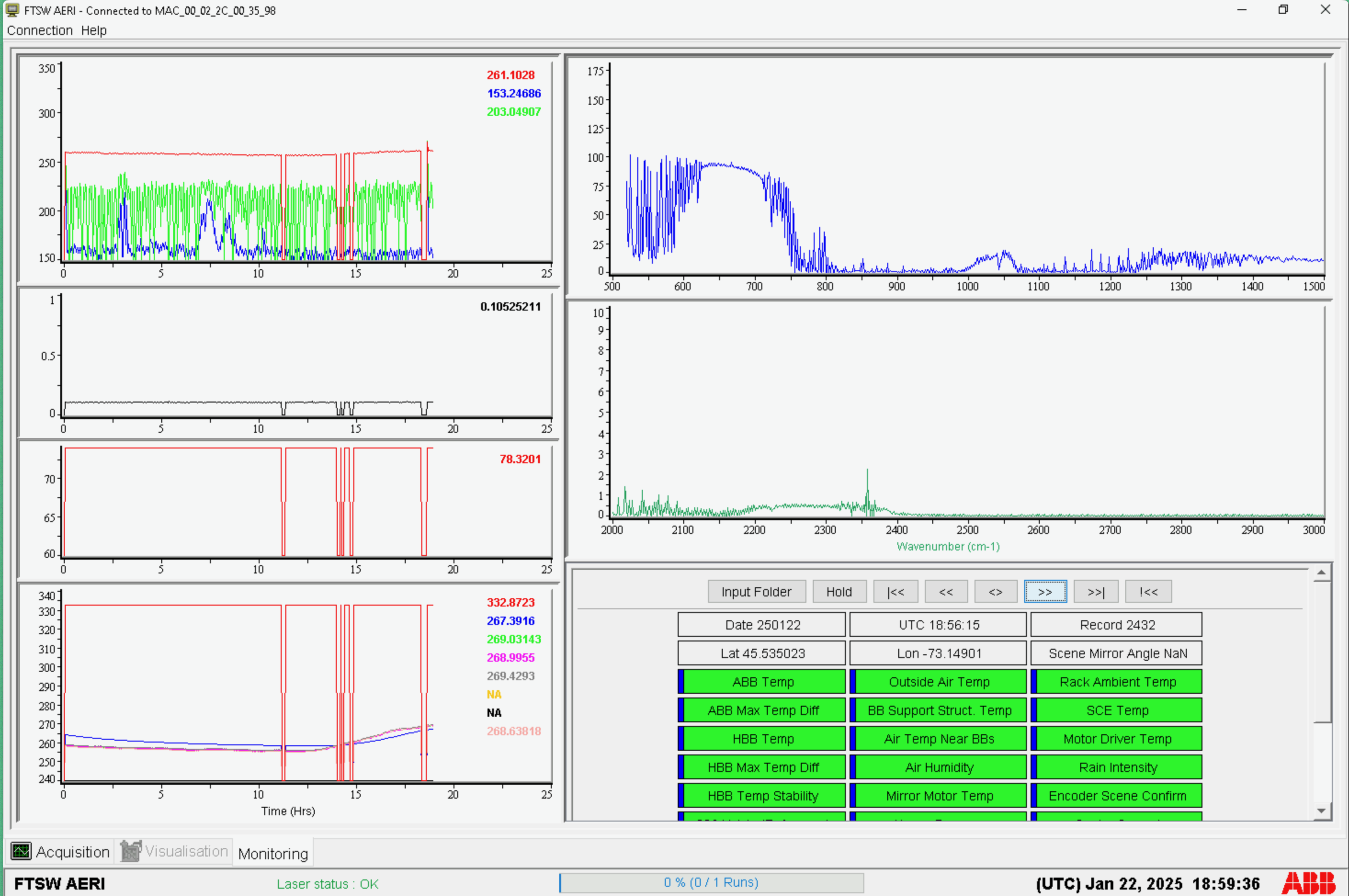
-
FIRMOS Data
FIRMOS quick look spectrum from the measurements taken at NRC, Ottawa Jan 22, 2025 at 17:34 UTC during aircraft ascent.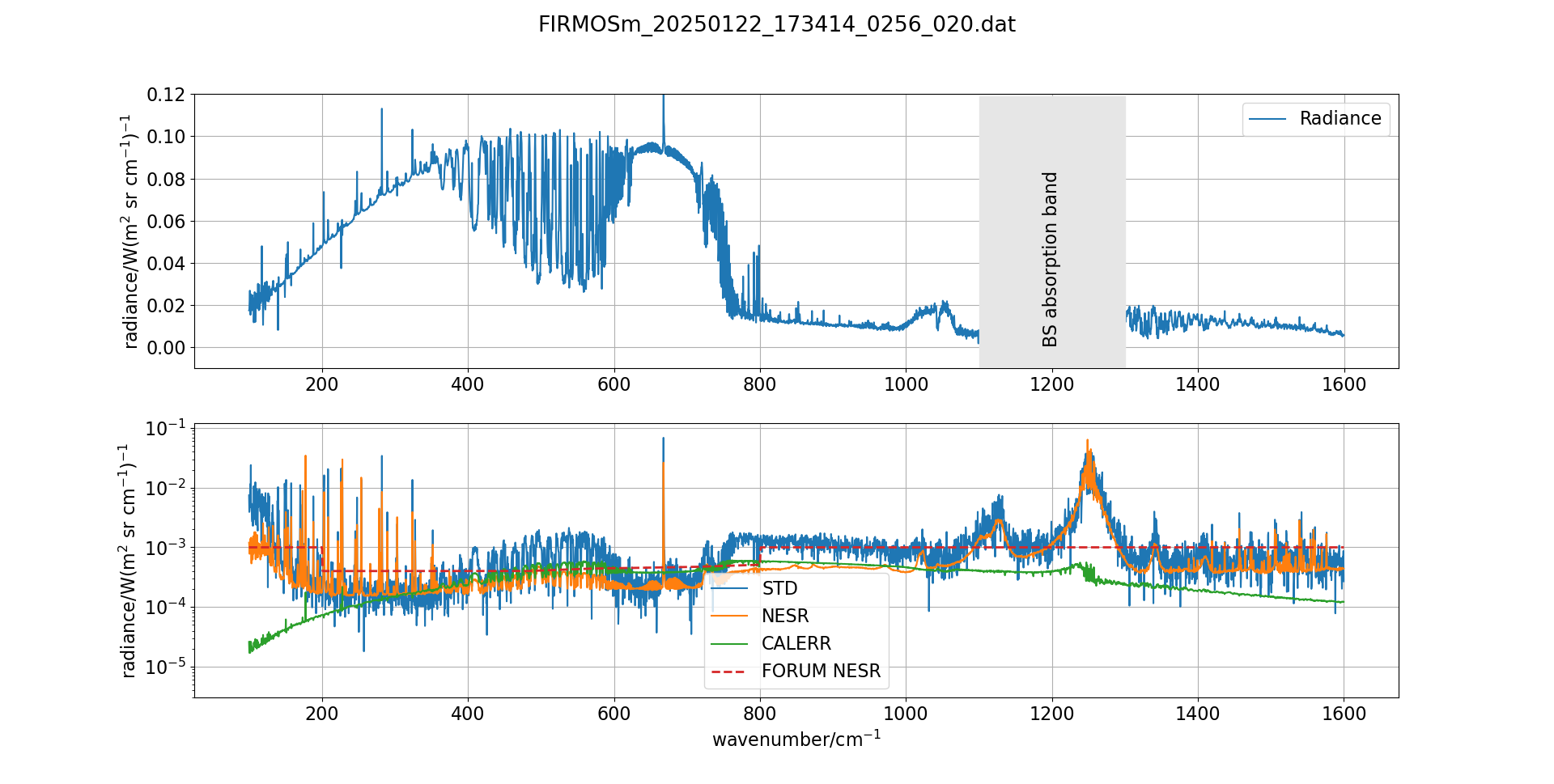
-
GOES-East GLM Images
-
Morning Pass

-
Afternoon Pass

-
Ottawa Ground Measurements in Clear Sky
Date: January 20, 2025
- FIRMOS Data
FIRMOS quick look spectrum from the measurements taken at NRC, Ottawa Jan 20, 2025 at 19:23 UTC.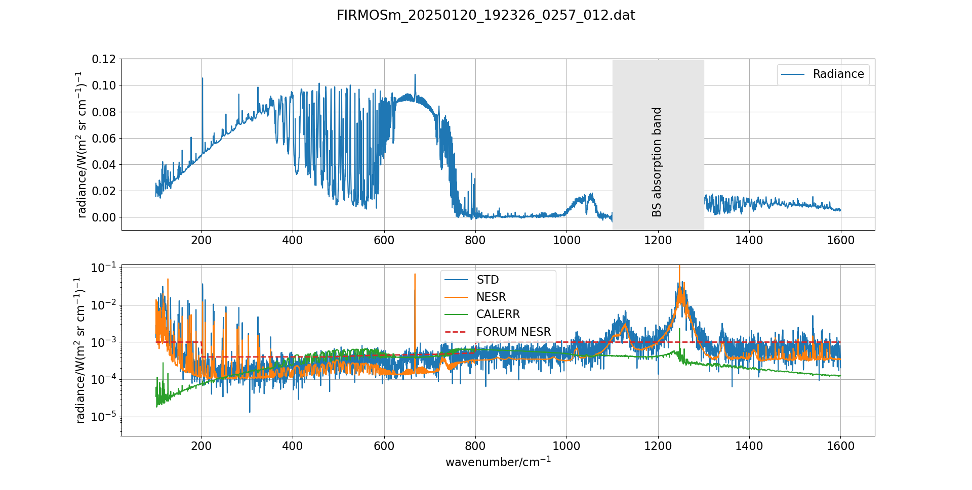
Test Flight
Date: January 17, 2025
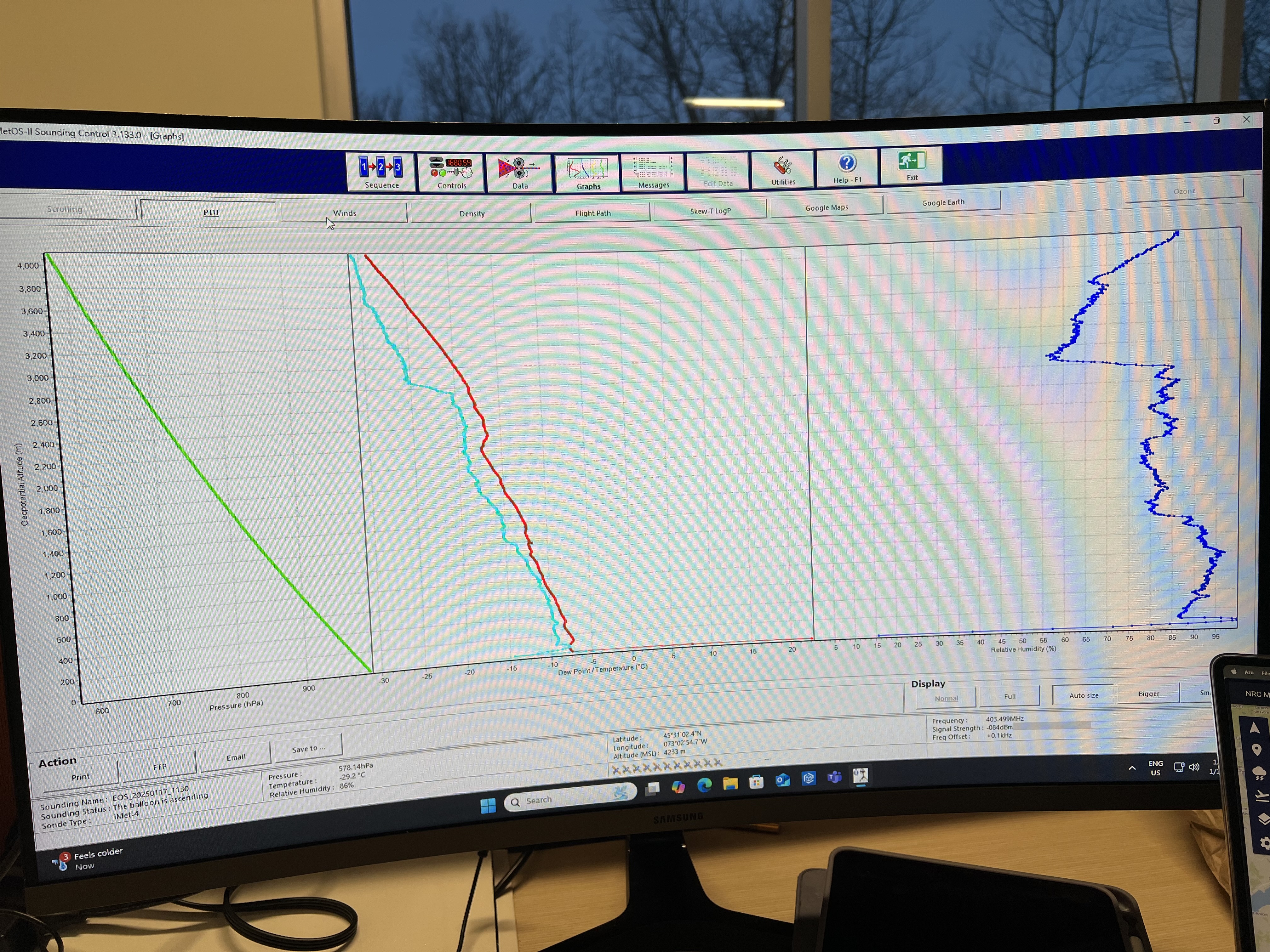
- Radiosonde Launch
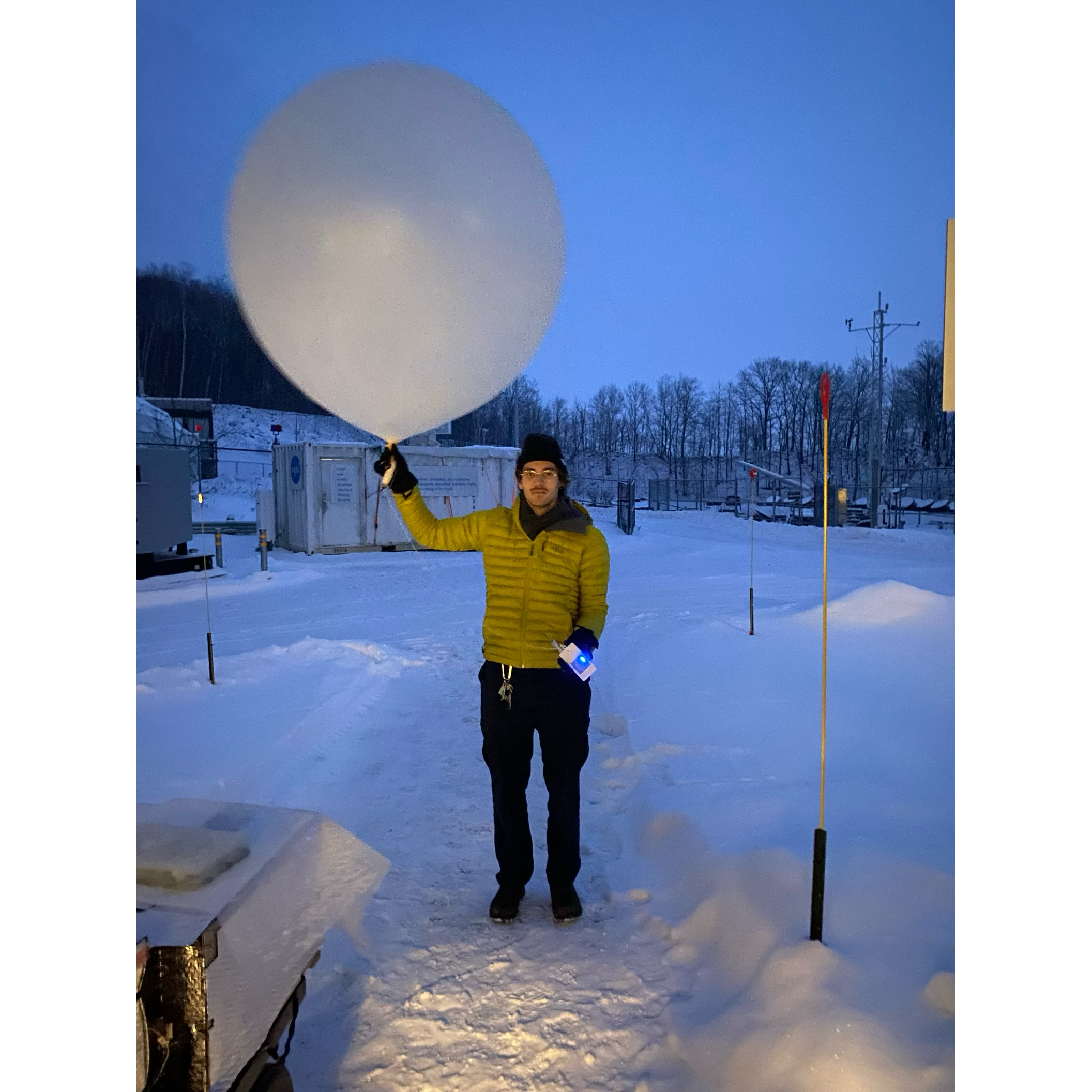
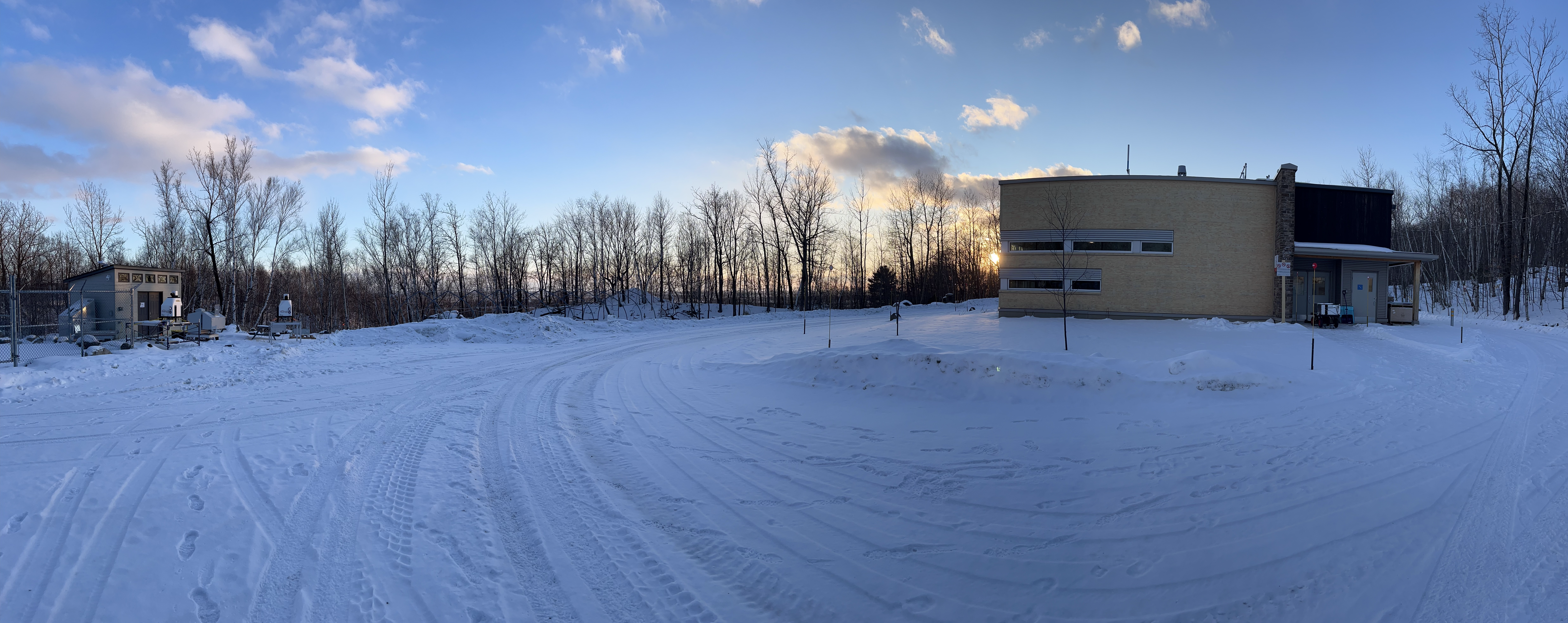
- Panoramic of AERI and FINESSE
- AERI Data

- FINESSE
